Table of Contents
ToggleBora Bora: The Pearl of the Pacific
Bora Bora, or Pora Pora (meaning “firstborn” in Tahitian), is the jewel of the South Pacific. Its history is a mix of ancient mythology—legend says it was the first island to rise after the creation of the world—and 20th-century military history that forever changed its landscape.
Here is a breakdown of the top sites and how to experience them.
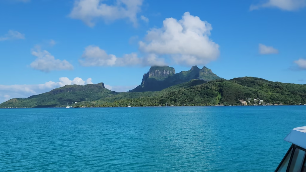
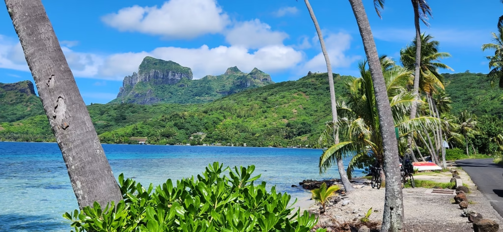
Geography & History: The Iconic Lagoon
Geography:
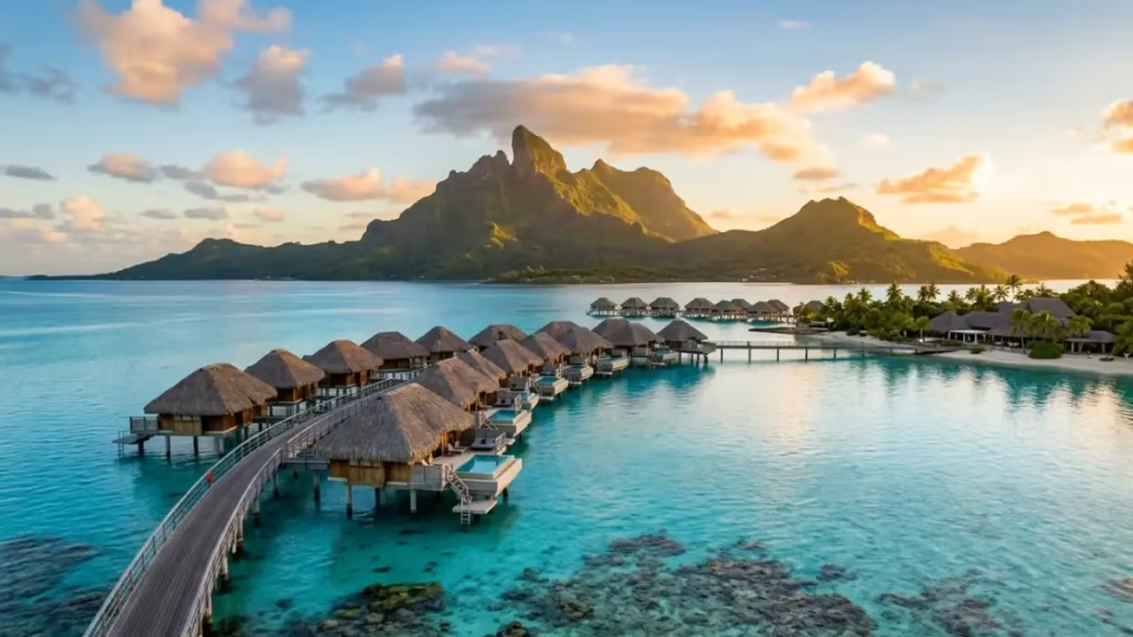
- An extinct volcano (Mount Otemanu) surrounded by a barrier reef and a string of “motus” (islets) where the luxury resorts are located.
History:
- Its name was originally “Pora Pora,” meaning “First Born.” It served as a major US supply base during WWII, leaving behind cannons that you can still visit today.
Travel Essentials
- How to Get There:
- A 50-minute flight from Tahiti.
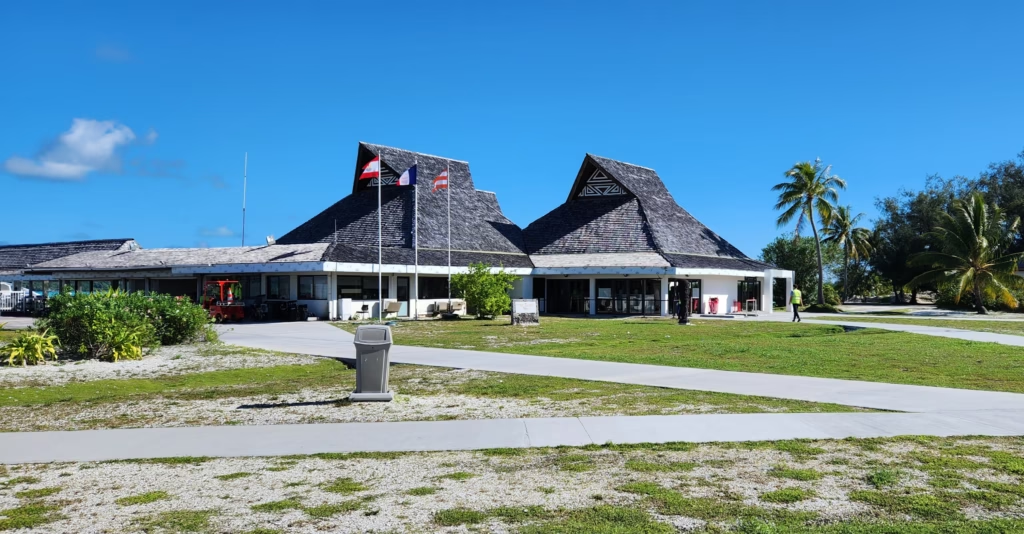
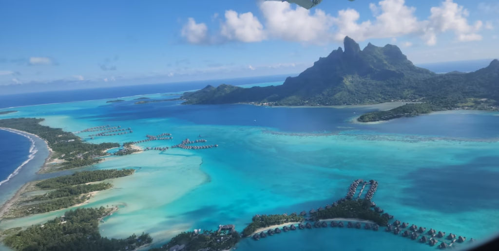
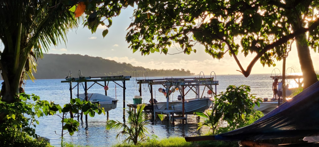
- The flight to Bora Bora from Raiatea takes only about 20 minutes. I highly recommend securing a seat on the left side of the airplane to get the absolute best aerial views of Bora Bora as you approach. In Bora Bora, the airport is located on its own islet, known as Motu Mute. To get to the main island, you must take a water shuttle from the motu, which is completely free of charge.
- Try to stand outside on the right side of the boat as it starts moving so you can capture the little motu featuring the famous welcome sign. After that, move over to the left side of the shuttle boat to secure the best opportunities for photos and videos of the main mountain peak.
- Most resorts provide private boat transfers from the airport motu, the Motu Mute.
- Transportation:
Getting around this island is unique because of its “Motu” (islet) geography.
- The main road looping around Bora Bora is about 30 kilometers long. The absolute best way to discover the island at your own pace is by renting a bicycle; the road is excellently maintained and entirely flat, with the exception of one very short, minor hill. You can cycle the entire perimeter in about 3–4 hours.
- I rented a bicycle from the Avis location in Vaitape for XFP 4,200 a day (around US$42).
- Rental Cars & Scooters: Available in Vaitape. They are great for independence, but quite expensive compared to other islands.
- “Le Truck”: The traditional public bus system is very irregular in Bora Bora compared to Tahiti; it mostly runs for school children and workers, so don’t rely on it for sightseeing.
- Taxis: Plentiful in Vaitape and near Matira Beach, but rates increase significantly after 7:00 PM.
- Budget:* Accommodation: $400–$1,200+ USD/night (Average traveler mid-range: $350).
- Daily Budget:$200–$300 USD.
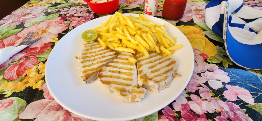
- Daily Food Budget:$80–$120 USD.
What to Do & Top Attractions
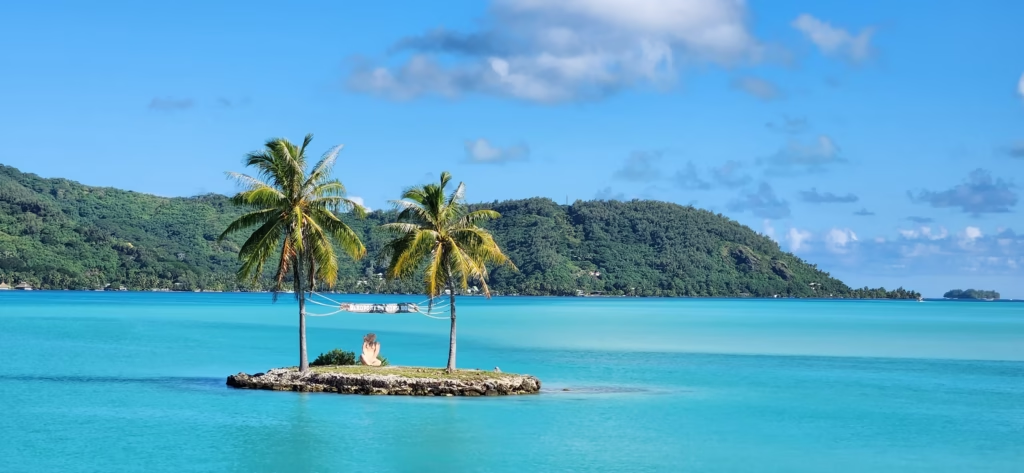
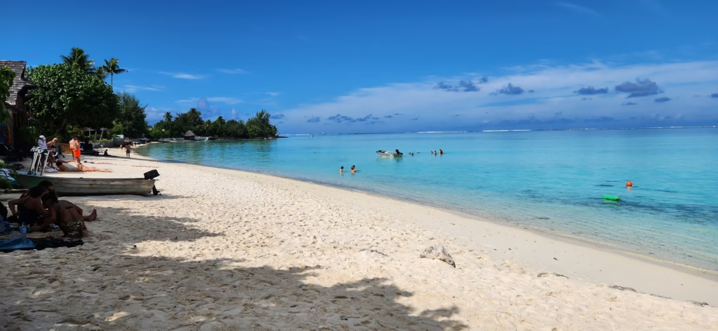
- Matira Beach:One of the only public beaches and consistently ranked among the world’s best.
- Mount Otemanu:Perfect for photography and 4×4 tours.
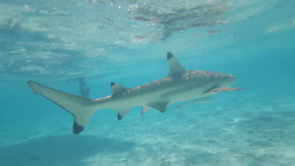
- Coral Gardens:World-class snorkeling with manta rays and lemon sharks.
- WWII Cannons:Historical relics hidden in the hills with great views.
- Vaitape Town
Matira Beach
- History: Unlike many other islands where beaches were subdivided into private land, Matira has remained the island’s primary public gathering place for generations. It was a quiet fishing spot for centuries before becoming a world-renowned destination.
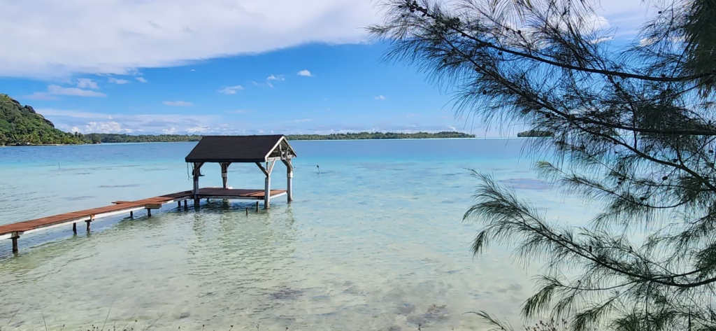
- Geography: Located at the southernmost tip of the main island. It is a long, narrow peninsula with shallow, crystal-clear water that stays waist-deep for hundreds of yards out to the reef.
- How to Get There: It is directly on the main circle-island road, about a 10-minute drive or 20-minute bike ride south from the main town of Vaitape.
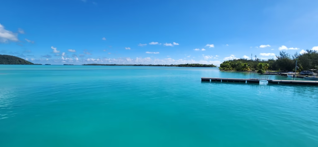
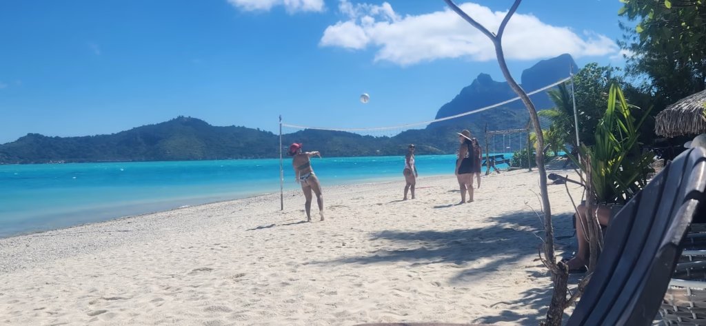
Bora Bora Activities & Lagoon Tour
Matira Beach is an incredibly beautiful stretch of sand and stands as the only public beach on the main island. The water there is remarkably clear, shallow, and warm. Conveniently, almost all of the main hotels are located not far from Matira Beach.
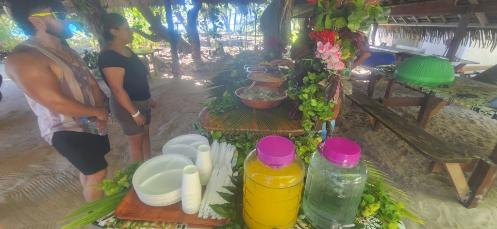
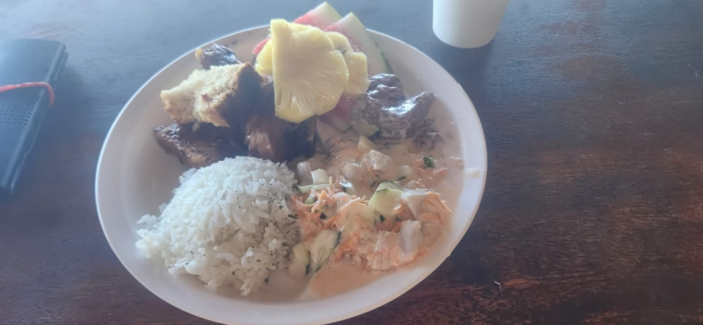
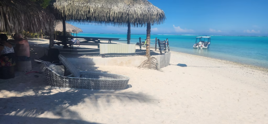
For activities, I booked a day tour with Manu Taxi Boat for XFP 15,000 (US$150), which fully included a delicious traditional lunch served on a private motu. The itinerary featured swimming with blacktip reef sharks and stingrays, as well as snorkeling in the vibrant coral gardens. The entire day was an absolutely phenomenal experience. Our host, Chris, was incredibly kind and helpful, especially with the guests who did not feel entirely comfortable in deep water. He swam along carrying a safety rope attached to a buoy so people could easily hold onto it while snorkeling in the coral gardens and during the Manta ray viewing portion of the tour.
After lunch, we enjoyed a relaxing rest on the islet, and Chris gave us an interactive demonstration on how to open a fresh coconut, how to extract fresh coconut milk, and how to weave the leaves of the coconut tree to create beautiful local plates and traditional crowns.
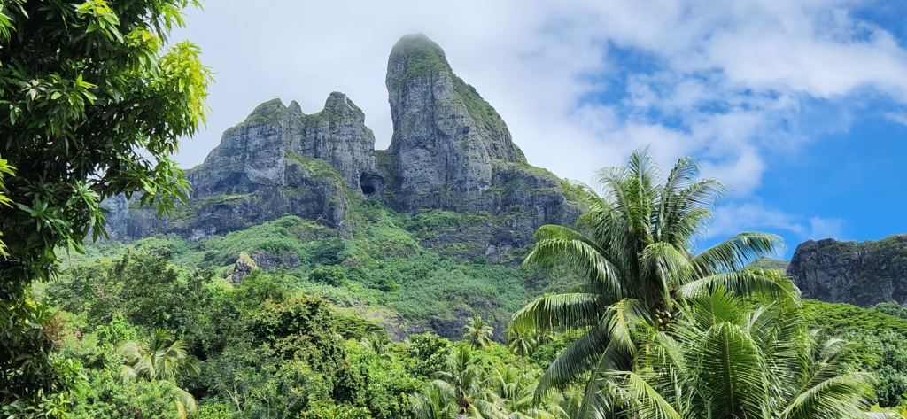
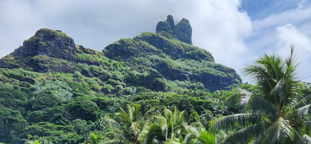
Mount Otemanu
- History: This 727-meter (2,385 ft) peak is the remnant of an extinct volcano. In ancient times, it was considered the home of the gods, and its high caves were used as burial sites for Tahitian royalty.
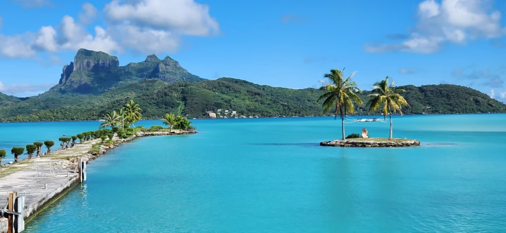
- Geography: A black basalt “castle” that dominates the skyline from every angle. It is surrounded by lush rainforest and serves as the vertical heart of the island.
- How to Get There: You cannot climb to the very top due to the vertical cliffs and crumbling rock, but you can take a 4×4 safari tour or a guided hike to the “Shoulder” or the Ana o Pea cave for spectacular views.
Coral Gardens
- History: These natural nurseries have been protected by the island’s geography for millennia. Recently, conservation efforts have intensified to protect the delicate coral heads from the effects of tourism.
- Geography: Located on the eastern side of the lagoon, near the small islet of Motu Pitiuu Uta. The water is calm and exceptionally clear because it is protected by the barrier reef.
- How to Get There: Accessible only by boat. Most travelers book a lagoon excursion which includes stops here to swim with stingrays and black-tip reef sharks.
WWII Cannons
- History: During WWII, the US military launched “Operation Bobcat,” stationing 6,000 soldiers on the island. They installed 7 coastal defense cannons to protect the island from a Japanese invasion. Interestingly, the cannons were never fired in combat.
- Geography: Hidden on high ridges at strategic points around the island (specifically at Faanui Bay and Fitiiu Point), providing panoramic “lookout” views of the lagoon.
- How to Get There: The easiest way to see them is via a 4×4 tour. If you are hiking, look for the trailhead near Marae Marotetini; it’s a 15-minute uphill climb.
Vaitape Town
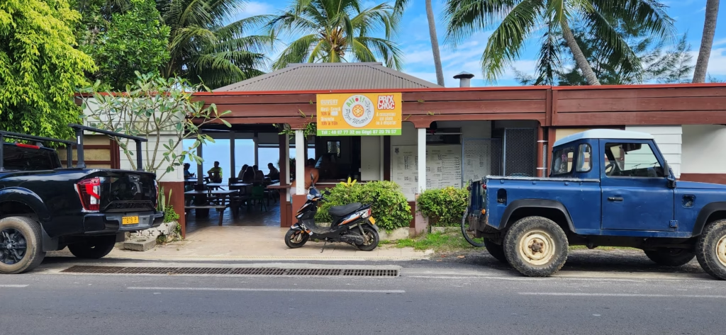
- Vaitape is the main town; it is quite small with a limited number of standalone restaurants, as most dining options are located inside the major hotels. Otherwise, you can find plenty of excellent local food trucks. Vaitape is also famous for its large concentration of local Tahitian pearl stores.
- History: The administrative center and largest village on the island. It was significantly modernized during the US occupation when the main wharf and first paved roads were built.
- Geography: Located on the western side of the main island, facing the Teavanui Pass (the only deep-water entrance for ships into the lagoon).
- How to Get There: This is the primary arrival point for the free airport ferry. It is easily walkable and contains the main supermarkets and craft stalls.