Table of Contents
ToggleRaiatea: The Sacred Heart of Polynesia
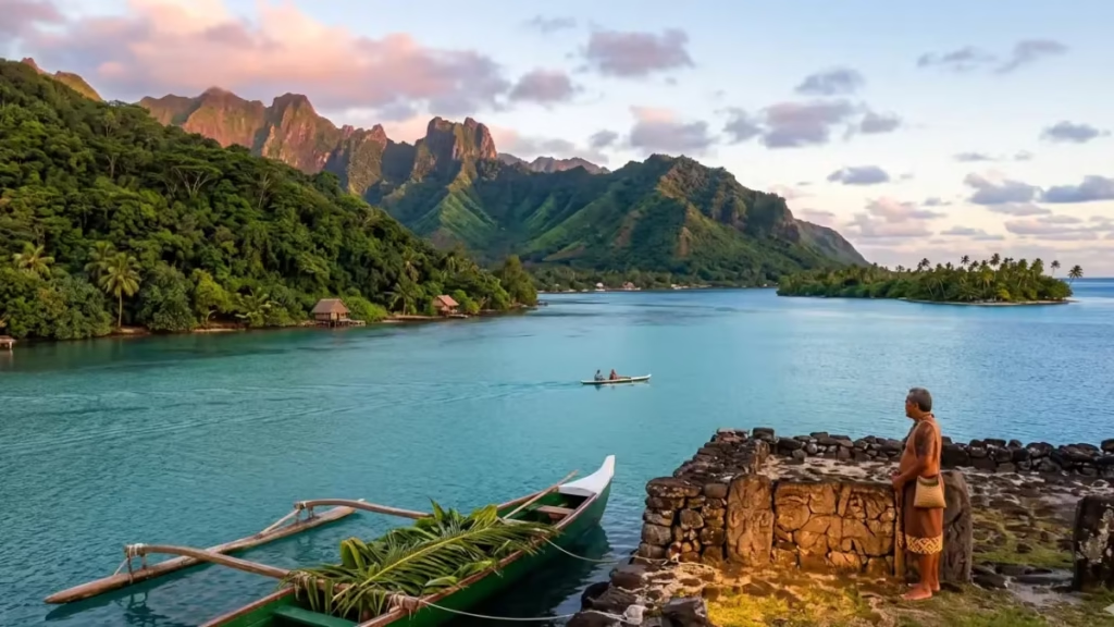
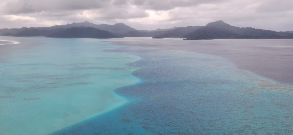
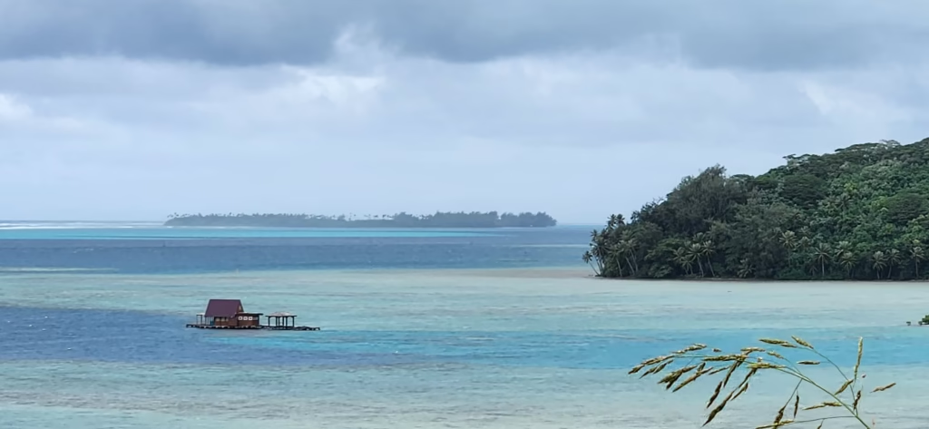
Raiatea, known as the “Sacred Island” (Havai’i Nui in ancient times), is considered the spiritual heart of the Polynesian Triangle. It is from these shores that the great migrations to Hawaii, New Zealand, and Easter Island are said to have begun. Geographically, it shares a massive lagoon with its sister island, Taha’a.
Geography & History: The Birthplace
Geography:
- Raiatea shares a lagoon with Taha’a. It is the second-largest island in the Society Islands but lacks the traditional white sand beaches of its neighbors—it’s all about mountains and rivers.
History:
- Known as “Hava’i,” it is considered the center of the Polynesian Triangle. Marae Taputapuatea, a UNESCO World Heritage site, was once the religious center of the entire South Pacific.
Travel Essentials
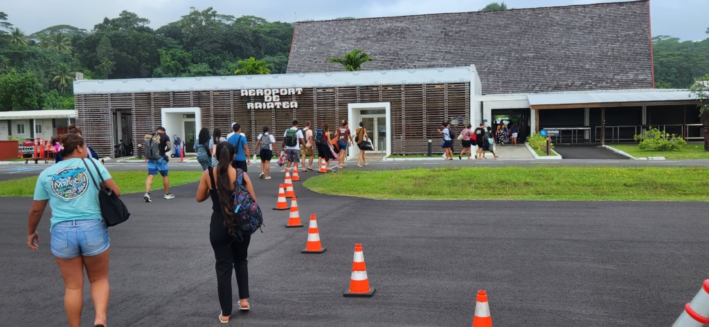
- How to Get There: A 45-minute flight from Tahiti
- To fly to Raiatea from Huahine, you have two options: the first is a direct flight that leaves very early in the morning around 8:00 AM, and the second is an early afternoon flight that includes a brief stopover in Bora Bora and take a short 20-minute flight from Bora Bora/Huahine.
- Transportation:
Raiatea is large and lacks a traditional “beach” around the main island, so you’ll spend more time on the water or driving to cultural sites.
Even if you choose to stay in the main town of Uturoa, the best way to move around the island is by renting a car. I rented my vehicle from a local agency for a reasonable daily rate. XFP 6500 ($US 65)
- Car Rental: Essential if you want to visit Marae Taputapuatea, which is a 45-minute drive from the main town of Uturoa.
- Kayaking: The only island where you can navigate a river (Fa’aroa River). Many pensions include kayaks for guests.
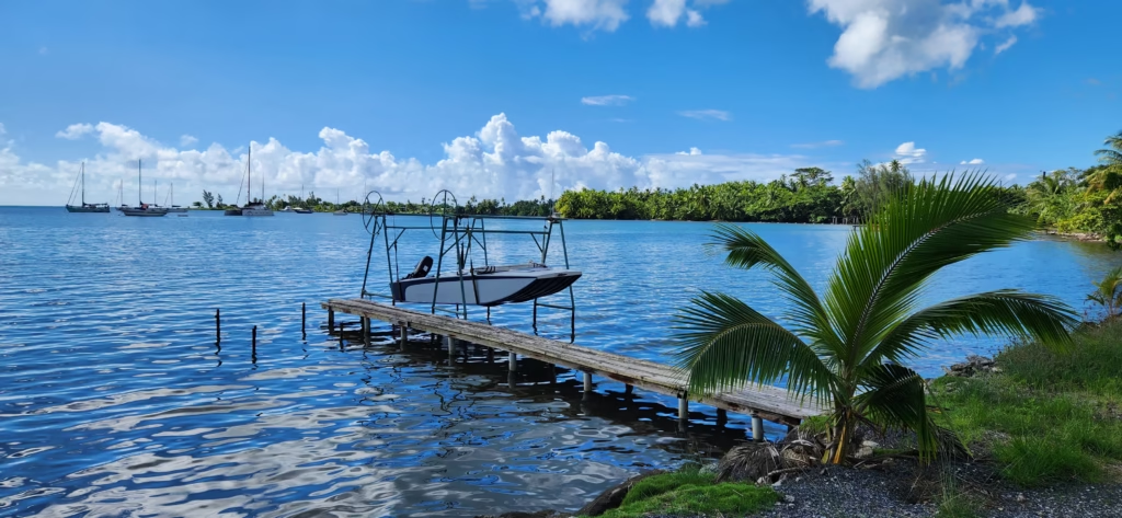
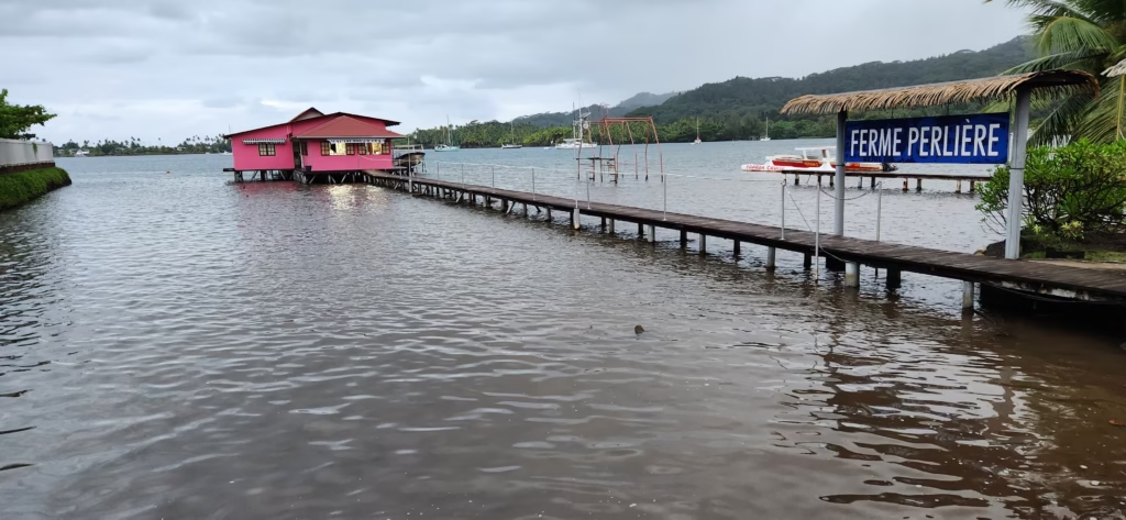
- Water Taxi: Essential for crossing the lagoon to the sister island, Taha’a, or to reach the various motus (islets) for beach days.
- Walking: Uturoa is a small, charming town that is easy to explore on foot once you are there.
Car rental is a must to reach the sacred sites.
- Budget:* Accommodation: $130–$220 USD/night.
- Daily Budget:$110–$150 USD.
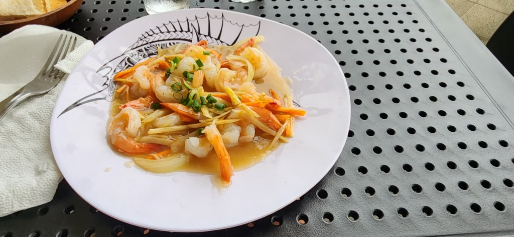
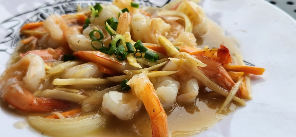
- Food Budget:$55–$75 USD.
What to Do & Top Attractions
- Marae Taputapuatea:The most significant cultural site in the Pacific.
- Fa’aroaRiver: The only navigable river in French Polynesia; best explored by kayak.
- Mount Temehani:Home to the Tiare Apetahi, a rare flower that grows nowhere else on Earth.
- The lush Faaroa Botanical Garden
- The scenic Belvedere Lookout
Uturoa Town & Waterfront
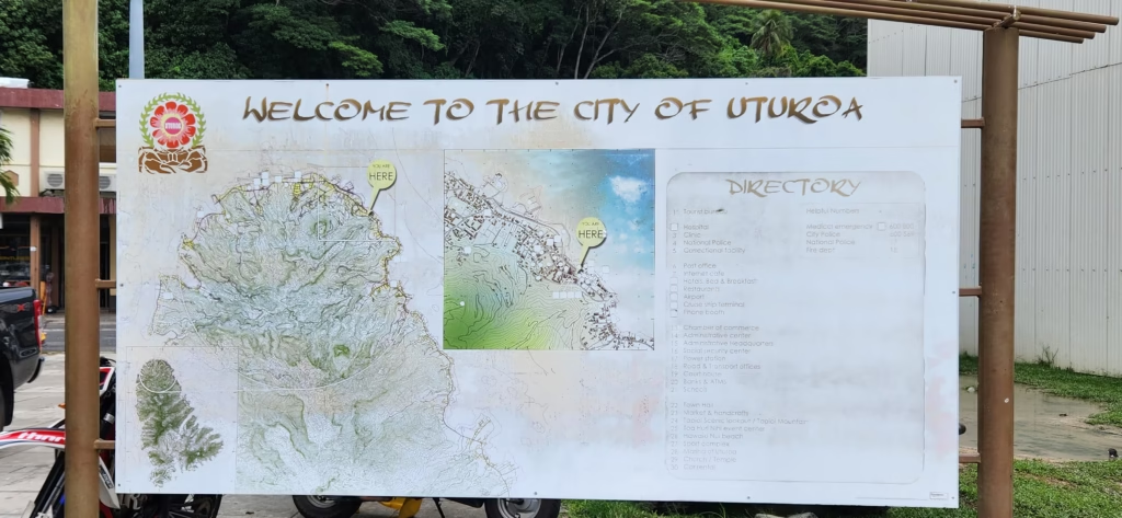
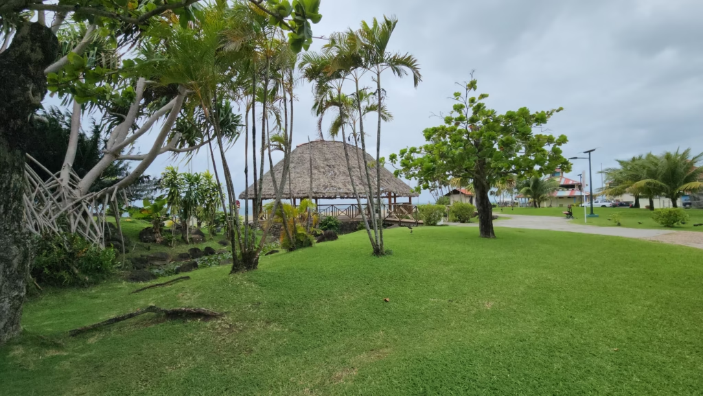
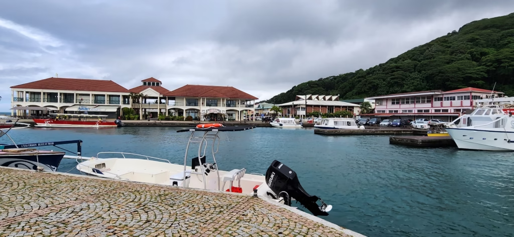
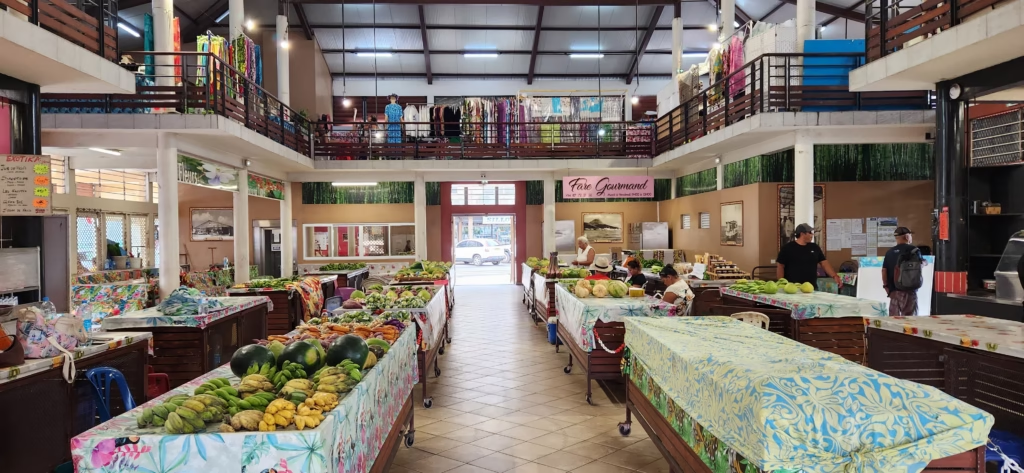
Uturoa is a charming little town equipped with everything you might need, and it is a very popular stop for international cruise ships.
- History: The second-largest town in French Polynesia after Papeete. It retains the charm of a colonial trading post. The waterfront has been recently renovated and serves as the primary hub for the region’s massive yachting and sailing industry.
- Geography: Located at the northern tip of the island, sitting at the foot of Mount Tapioi.
- How to Get There: This is where the airport and main ferry docks are located. It is easily walkable.
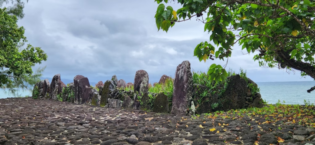
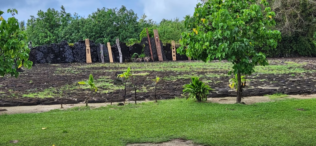
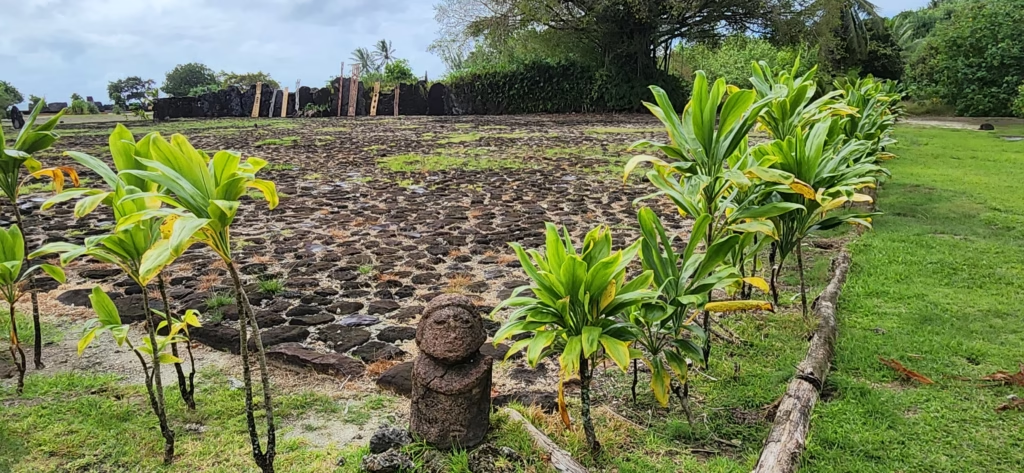
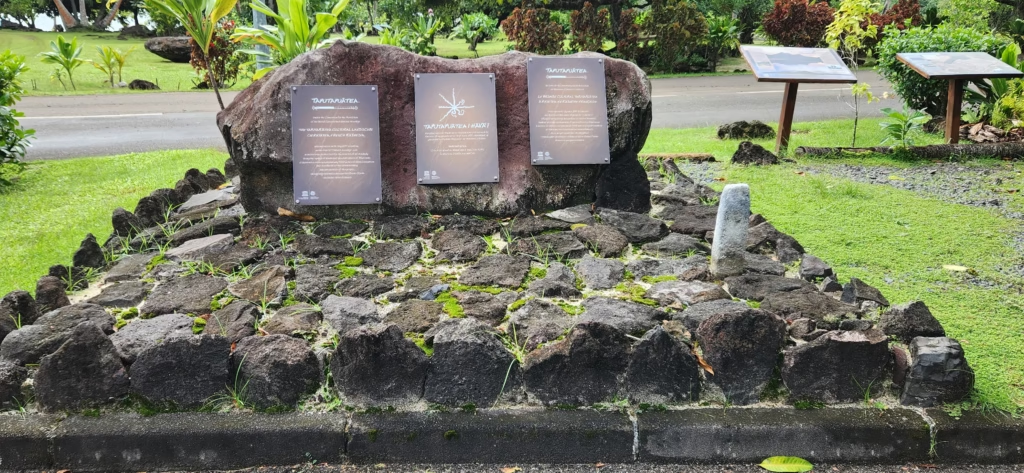
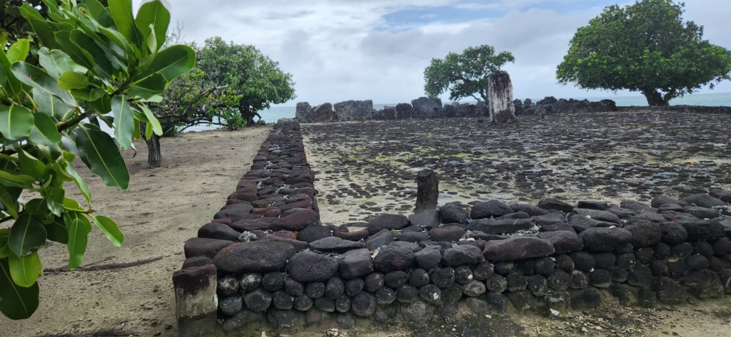
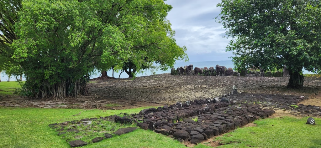
Marae Taputapuatea (UNESCO World Heritage Site)
- History: Founded around 1000 AD, this was the central temple and religious headquarters of Eastern Polynesia. It was dedicated to ‘Oro, the god of war and fertility. For centuries, priests and navigators from all over the Pacific would gather here to share knowledge of the stars and genealogy. Stones from this marae were taken to other islands to establish new temples, creating a spiritual “umbilical cord” back to Raiatea.
- Geography: Located on the Opoa peninsula, the complex consists of several stone courtyards and altars (ahu) made of volcanic basalt and coral, looking out over the sacred reef pass, Te Ava Moa.
- How to Get There: It is located on the southeast coast of the island. You can reach it by rental car or scooter via the main circle-island road (about 45 minutes from Uturoa), or join a guided boat excursion.
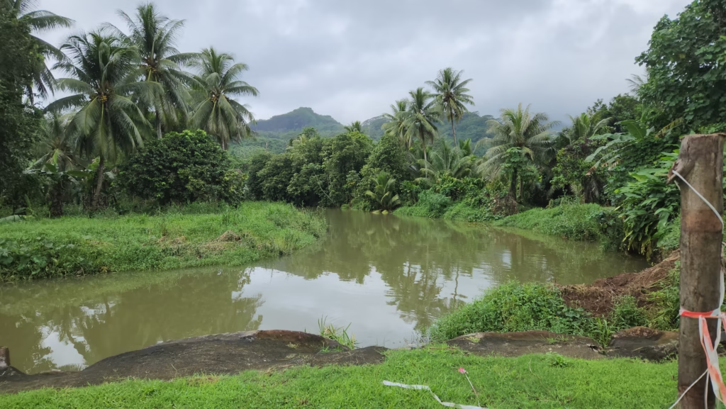
Fa’aroa River
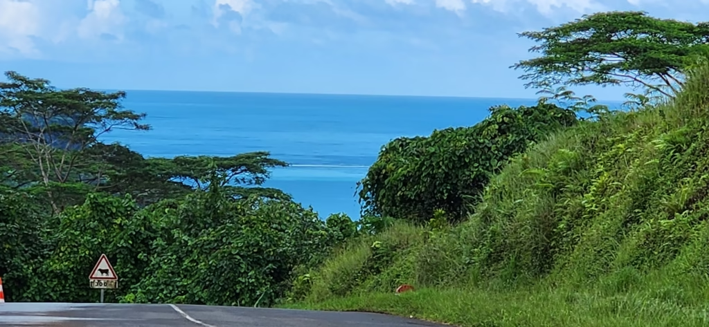
- History: This river was the traditional gateway for ancient inland settlements. Legend says it was the starting point for many of the great voyaging canoes. Today, it remains the only navigable river in all of French Polynesia.
- Geography: The river winds deep into the lush interior of the island, flanked by steep volcanic cliffs and dense rainforest filled with wild hibiscus (purau), bamboo, and Pacific chestnuts.
- How to Get There: The mouth of the river is in Fa’aroa Bay. The best way to explore it is by renting a kayak or booking a guided tour in a motorized outrigger canoe.
Mount Temehani & The Tiare Apetahi
- History: This mountain is considered the “Olympus” of Polynesia, believed to be the resting place for the souls of ancestors. It is the only place on Earth where the Tiare Apetahi According to legend, the flower’s five petals represent the fingers of a heartbroken girl who died on the mountain; the flowers are said to make a faint “popping” sound when they open at dawn.
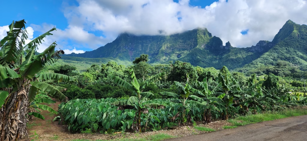
- Geography: A high volcanic plateau reaching 772 meters. The environment is unique—an acidic, soggy soil that supports rare endemic plants found nowhere else.
- How to Get There: Access requires a strenuous 4–6 hour guided hike. Because the Tiare Apetahi is critically endangered, it is highly recommended (and sometimes required) to go with a local certified guide to ensure you stay on the path and protect the flora.
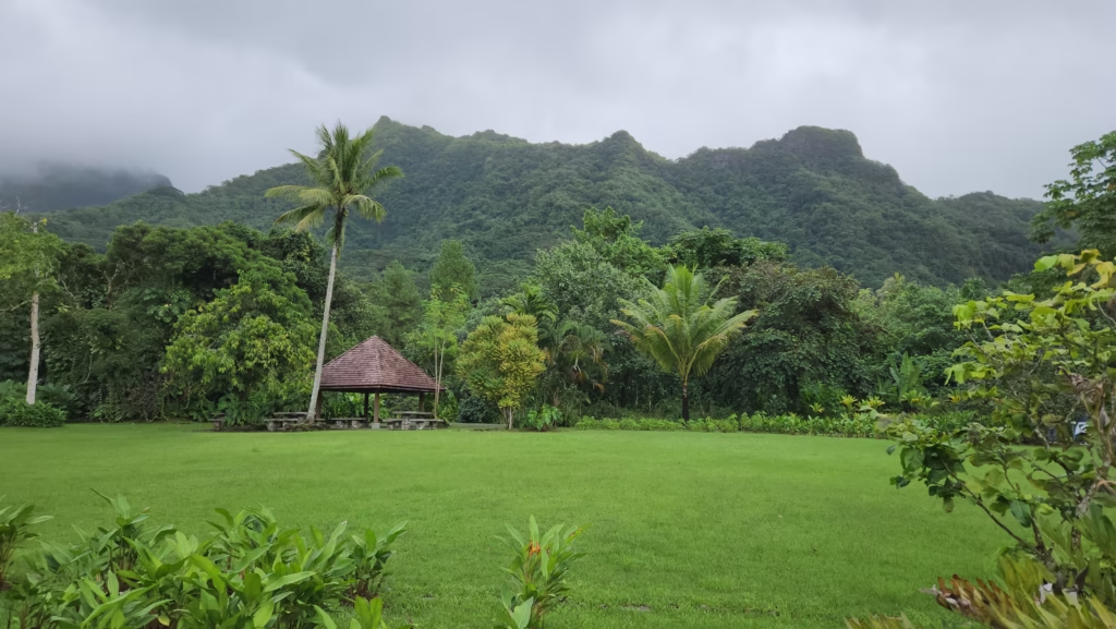
The Lush Faaroa Botanical Garden
Also frequently referred to as the Faaroa Botanical Garden, this serene 3-hectare sanctuary showcases the rich tropical biodiversity of the region. Winding, well-marked paths lead visitors through a meticulously maintained collection of over 300 plant species, creating a peaceful immersion into Polynesian nature.
- Flora Highlights: The garden features a magnificent array of endemic and regional plants, including giant bamboo, towering teak trees, wild ginger, and vibrant hibiscus.
- The Faaroa River: The garden sits along the banks of the Faaroa River, which holds the distinction of being the only navigable river in French Polynesia. Many travelers choose to arrive or explore the area via guided river kayak excursions.
- Amenities: Visitors can make use of established picnic areas and a children’s playground, and informative panels are placed throughout the property to detail the island’s botanical wealth.
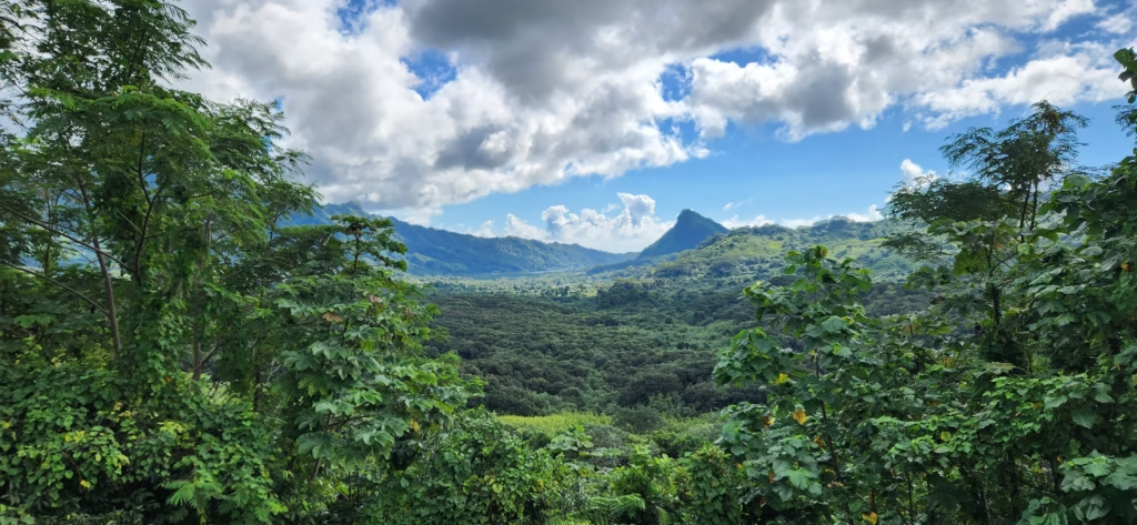
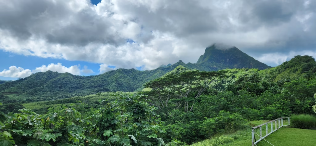
The Scenic Fa’aroa Belvedere Lookout
Perched higher up the main cross-island road winding through the valley, the Belvedere Faaroa offers a dramatic, panoramic vantage point overlooking the striking volcanic topography of Raiatea’s interior.
- Panoramic Views: The lookout platform features exceptional, elevated views of the massive Caldeira de Faaroa and the steep, jagged mountain ridges that are often atmospheric and shrouded in low clouds.
- Facilities: The site features a pergola-covered viewing platform, informative geographical signs detailing local landmarks, and dedicated picnic tables for a scenic rest stop.
- Hiking Access: For those wanting a bit more activity, a short hiking trail begins right at the edge of the picnic area, climbing slightly higher for even more expansive views of the dramatic island landscape.
Mount Tapioi Lookout
- History: This hill served as a vital lookout point for spotting incoming ships or schools of fish in the lagoon.
- Geography: A relatively easy hike to the summit (294 meters) providing the best panoramic view in the Society Islands. From the top, you can see the shared lagoon of Raiatea and Taha’a, and on clear days, Bora Bora and Maupiti on the horizon.
- How to Get There: The trailhead starts near the gendarmerie (police station) in the center of Uturoa. Note: Check locally for access, as the trail sometimes crosses private land.
Nordby Shipwreck
- History: A three-masted Danish iron sailing ship that sank during a storm in 1900. It is now one of the best-preserved shipwrecks in the South Pacific.
- Geography: Rests on its side at a depth of about 18–29 meters in the lagoon near the Pearl Beach Resort.
- How to Get There: Accessible only by diving. Most dive shops in Uturoa offer specialized trips to this site.